Maps Of Ghana
There are multiple Ghanaian maps available, including a straightforward country map and detailed maps of the country’s various regions.
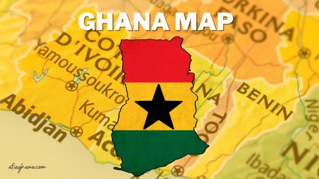
Ghana, a country in West Africa, is seen on the map below with its southern border along the Gulf of Guinea, western border with Cote d’Ivoire (Ivory Coast), northern border with Burkina Faso, and eastern border with Togo.
Ghana has a population of around 31.73 million as of 2021.The country has an area of 238,533 km2, making it somewhat smaller than the United Kingdom or the state of Oregon in the United States.The landscape is largely flat plains with some modest hills.
The 885-meter-high Mount Afadja (sometimes spelled Afadjato) is the highest point in Ghana (2,904 ft).The Agumatsa Range, of which the mountain is a part, lies to the east of Lake Volta, the largest man-made lake in the world.The merging of the Black Volta and the White Volta creates the Volta River, Ghana’s most important river system.
The river then travels a southern route through the country, eventually emptying into the Gulf of Guinea.The Afram and the Oti River are also significant tributaries.The Oti, or Pendjari River, flows into Lake Volta, a reservoir in Ghana.
The international borders, regional boundaries, national capital Accra, regional capitals, important cities, main roadways, and airports of Ghana and its neighbors are all depicted on this map.
Ghana Map
![Maps Of Ghana [Includes Maps Of All Cities in Ghana]](/gh_content/uploads/2022/12/image-4.png)
See also: Maps of African Countries


